This blog is anything about survival, whittling/carving, hiking, camping, biking and etc.
Thursday, April 22, 2010
Harms Woods
Tuesday, April 22 is our day-off from taking care of our grandson so my wife and I decided to hike Harms Woods, a part of North Branch Trail System. Since we're both in the late 50's and not in the tip-top condition, we thought we would hike only a total of 4 miles.
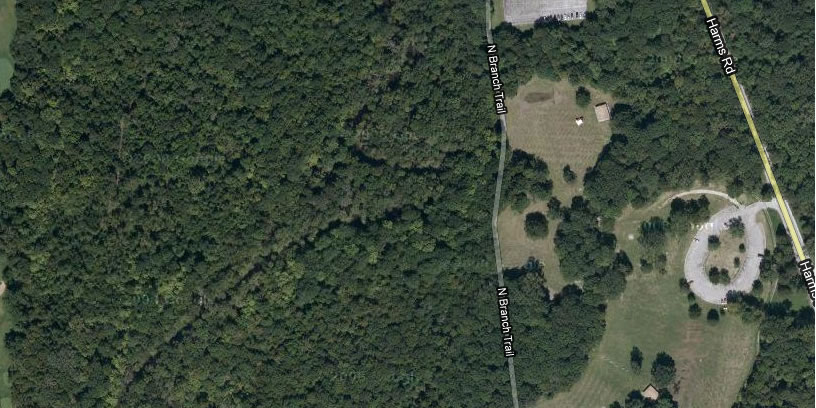
Satellite photo of Harms Woods.
Map of the North Branch Trail System.
We hiked first the Brown Trail (see map) which is 1.1 miles and then 2 miles more or less of Yellow Trail, one way. So actually we did a total of 6 miles to and fro - not bad for a start.
Start of the Brown Trail.
Horseback Riders.
These trees look bare yet but soon I'm sure they would look great.
Trail marker.
I brought food and water in my bag, and of course my possibles pouch which would be the topic of my next post.


No comments:
Post a Comment